Oceania
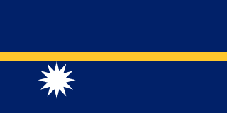
Nauru
Capital: Yaren
Country Code
NR
Continent
Oceania
Capital City
Yaren
Population
11K
Official Language
Nauruan, English
✈️ Plan Your Trip
Flights, stays & experiences in Nauru
We may earn a commission from bookings made through these links.
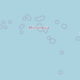
🗺️ Location on Map



Yaren
The de facto capital city of Nauru housing the majority of the island's government offices and the airport.
Anibare Bay
A stunning crescent-shaped beach known for its white sands and excellent surfing conditions.
Command Ridge
The highest point on the island, featuring remnants of World War II Japanese artillery and bunkers.
Buada Lagoon
A picturesque, landlocked freshwater lake surrounded by lush vegetation in the heart of the island.
Denigomodu
One of the most populous districts on the island, primarily serving as a residential and industrial hub.
Meneng Hotel
A historic landmark site that serves as the primary hotel facility on the island.
Aiwo
The industrial center of Nauru, home to the main port and major phosphate processing facilities.
Moqua Well
A natural underground freshwater spring located in the district of Meneng.
Nibok
A coastal district on the western side of the island featuring traditional residential housing.
Boe
A central district that is home to several schools and essential community infrastructure.
Loading...
Loading...
Loading...
Loading...
Loading...
Loading...
Loading...
Loading...